Cadastral Map
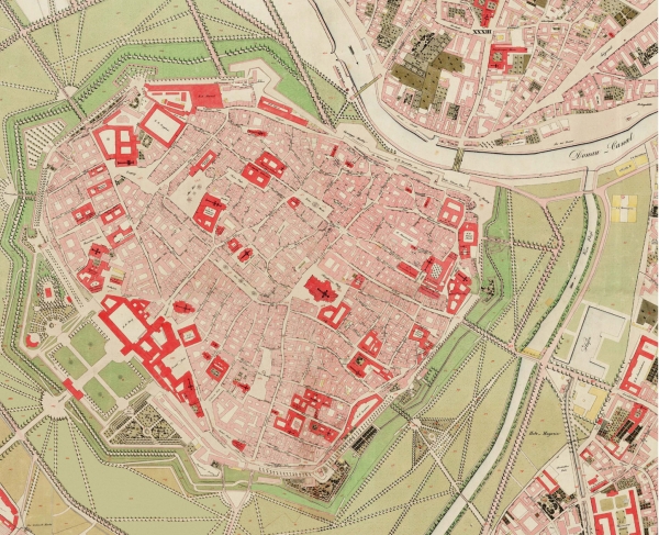
This is an example of a Cadastral Map created under Emporer Franz I. It shows the layout of the city of Wien in 1829. This map show different roads and buildings within the city. It shows great detail.
Link: http://www.fig.net/hsm/news/franz/1829wien_600.jpg
No comments:
Post a Comment